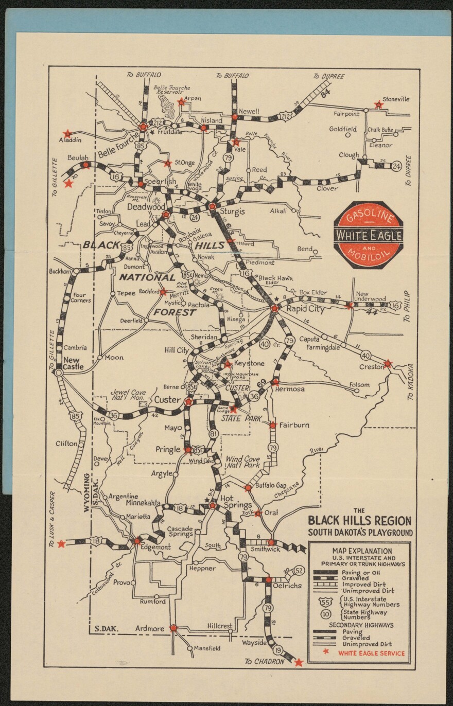
Nearly 700 original South Dakota maps have been digitized and put online by the South Dakota State Archives.
This is thanks to a grant from the Deadwood Historic Preservation Commission.
The maps are being cataloged because of a growing interest from researchers, teachers, and students.
Chelle Somsen is the state archivist. She says even though these maps are being digitized for these groups, anyone can use them.
"The county boundaries have changed, the names of the counties have changed since we were a territory, Dakota Territory. Some of those counties had completely different names," Somsen said. "So, the educational component is really quite significant to show younger generations how their state has grown and changes over time.”
The 698 maps going online are mostly west-river tourist maps outlining snowmobile trails and national forests in the Black Hills.
The maps are available to view at the South Dakota Digital Archives website.

